 Hobe Fort
 The exhibition displays the Keelung, Tamsui and Penghu war models of Taiwan during the Sino-French War and the course of the Sino-French War in Hobe. Additionally, there is historical information related to the Hobe Fort including old photos of the forts in Taiwan and Min-Nan area, settlements, culture, geography in Tamsui area, and old photos of interaction with Taipei basin.
【The Building of Hobe Fort】 Hobe Fort was one of the marine defense structures built by the Qing Dynasty for Taiwan after the Sino-French War, including the ten forts in the five estuaries in Penghu, Keelung, Tamsui, Tainan Anping, and Kaohsiung. In 1886, Taiwan Governor Ming-chuan Liu hired German engineer, Lieutenant Max E. Hecht, to supervise the building of these ten forts using the West styles forts as an example. Hobe Fort is one of the forts.
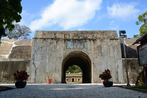
【Barrack】 The only entrance to the fort has the inscription of "Key to the North Gate" by Ming-chuan Liu on the top in 1886.
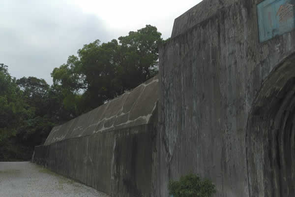 【Main Wall (Sub-Wall)】
The highest point of the sub-wall of Hobe Fort is about 7 meters. The building style has straight and sloping sections to provide the function of easy defense and making it difficult to attack.
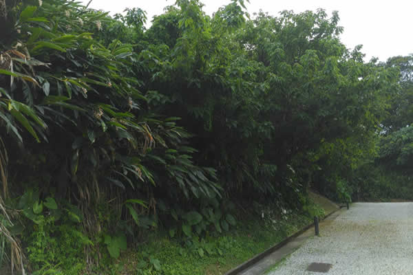 【Earthen Wall (Primary Wall)】
The earthen wall is the same height as the fort and the primary function was to conceal the fort and turn Hobe Fort into a hidden fort.
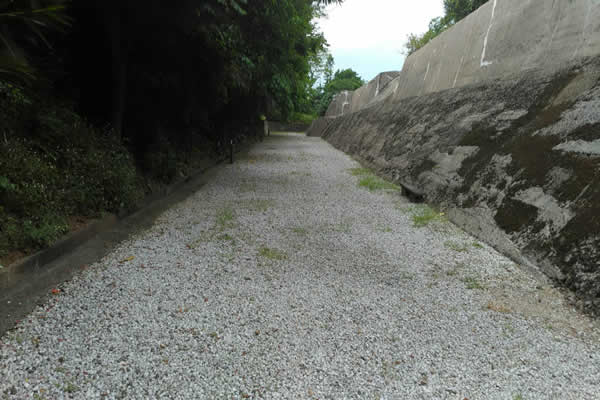 【Moat】
 Encircling the fort and separating the primary and sub-walls, the moat was used to improve the defense and monitoring capability.
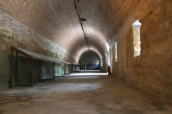 【Corridor】
The dome-like corridor was used as an activity space for soldiers, with the inside divided into the barracks and ammunition store. Part of the corridor preserves the original look, with the rest currently serving as a display room.
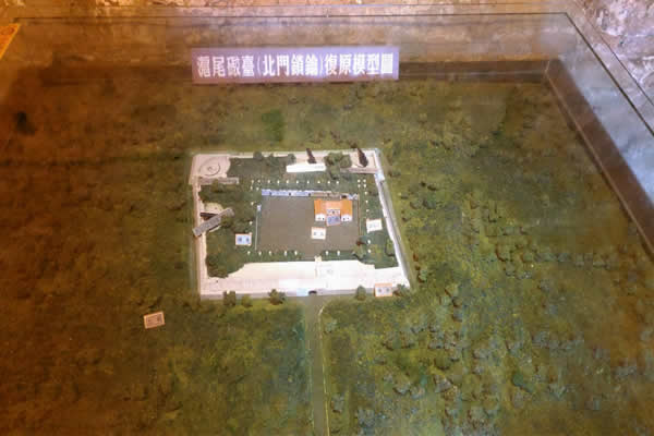 【Display】
 The content of the corridor includes: The Penghu, Keelung and Hobe war model during the Sino-French War and a model of Hobe Fort. The overview of Sino-French War in Hobe and the route map of the ancient battlefield, which is now promoted as a bicycle trail. The historical information related to the Hobe Fort including old photos of the forts the in Taiwan and Min-Nan area, settlements, culture, geography in Tamsui area, and old photos of interaction with the Taipei basin. Additionally, there are wonderful special exhibitions that are regularly held in the corridor of the north wing.
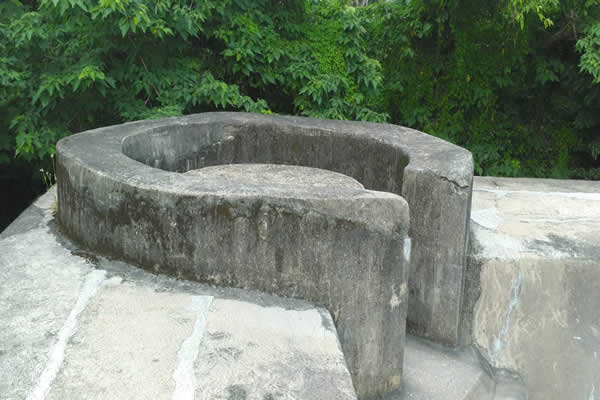 【Pillbox 50】
The additional pillbox built during the Republic Government period.
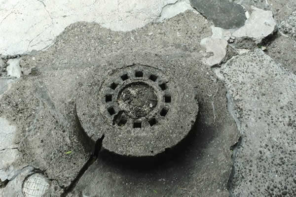 【Flake Tower】
Built during Japanese Colonial Period.
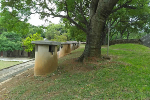 【Ventilation Holes】
 A total of 36 holes line the top of the corridor for air ventilation inside the corridor.
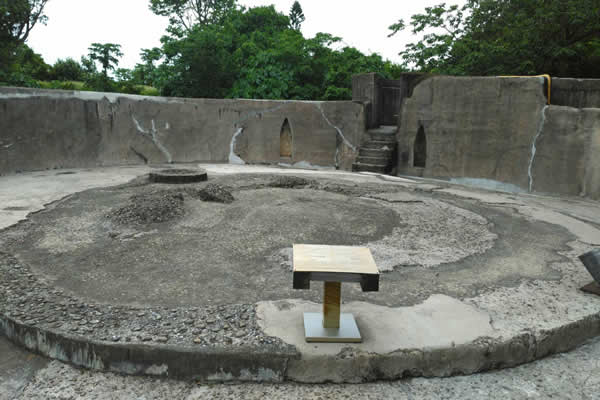 【Barbettes】
Hobe Fort was previously equipped with four cannons, namely 12" and 10" Armstrong's Rifled Breech Loaders each with additional Germany-made Krupp 21cm breech-loading cannon. The four cannons were melted down by the Japanese military during the Japanese Colonial Period. Currently there are no cannons on Hobe Fort, however, the base remains clear and visible.
